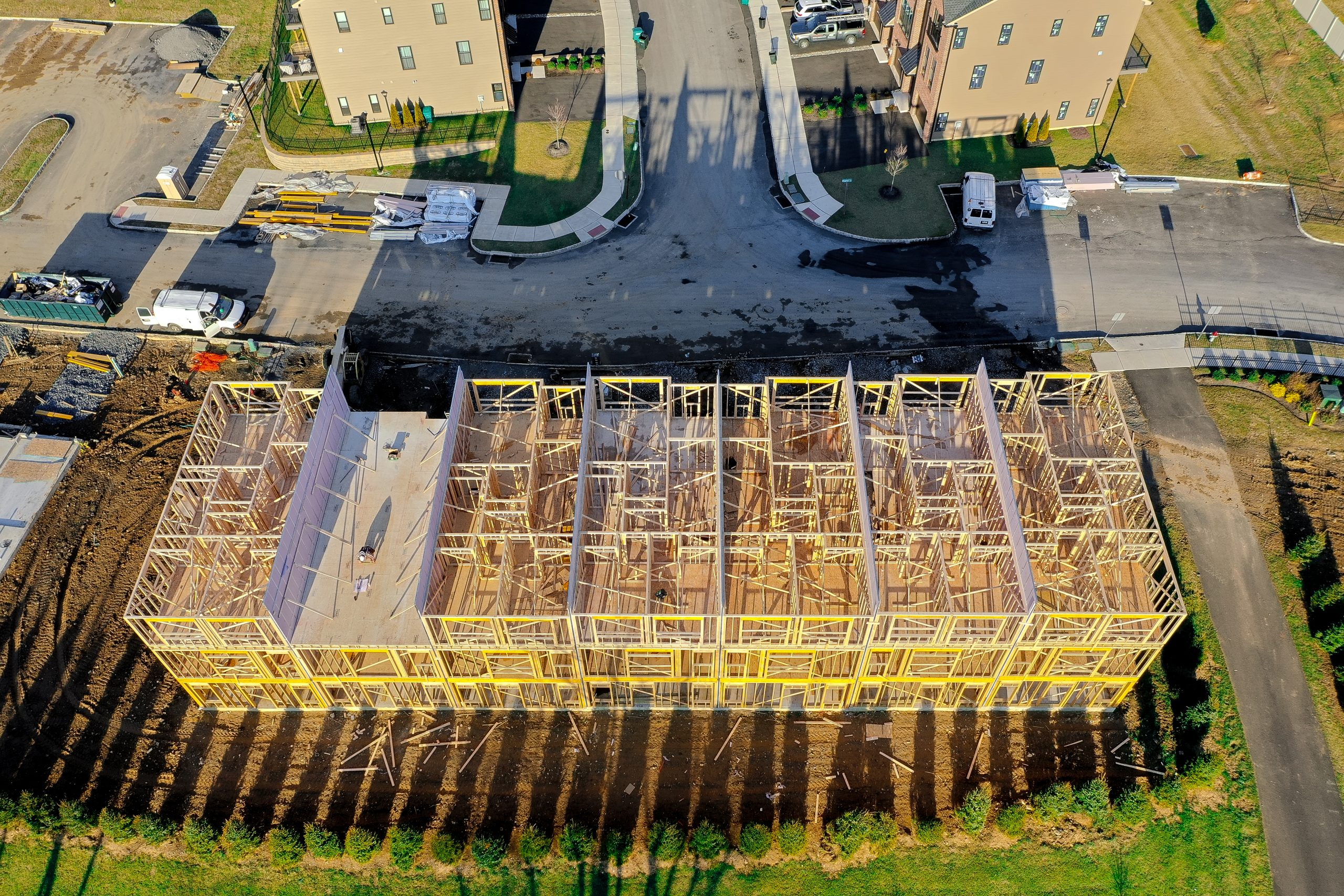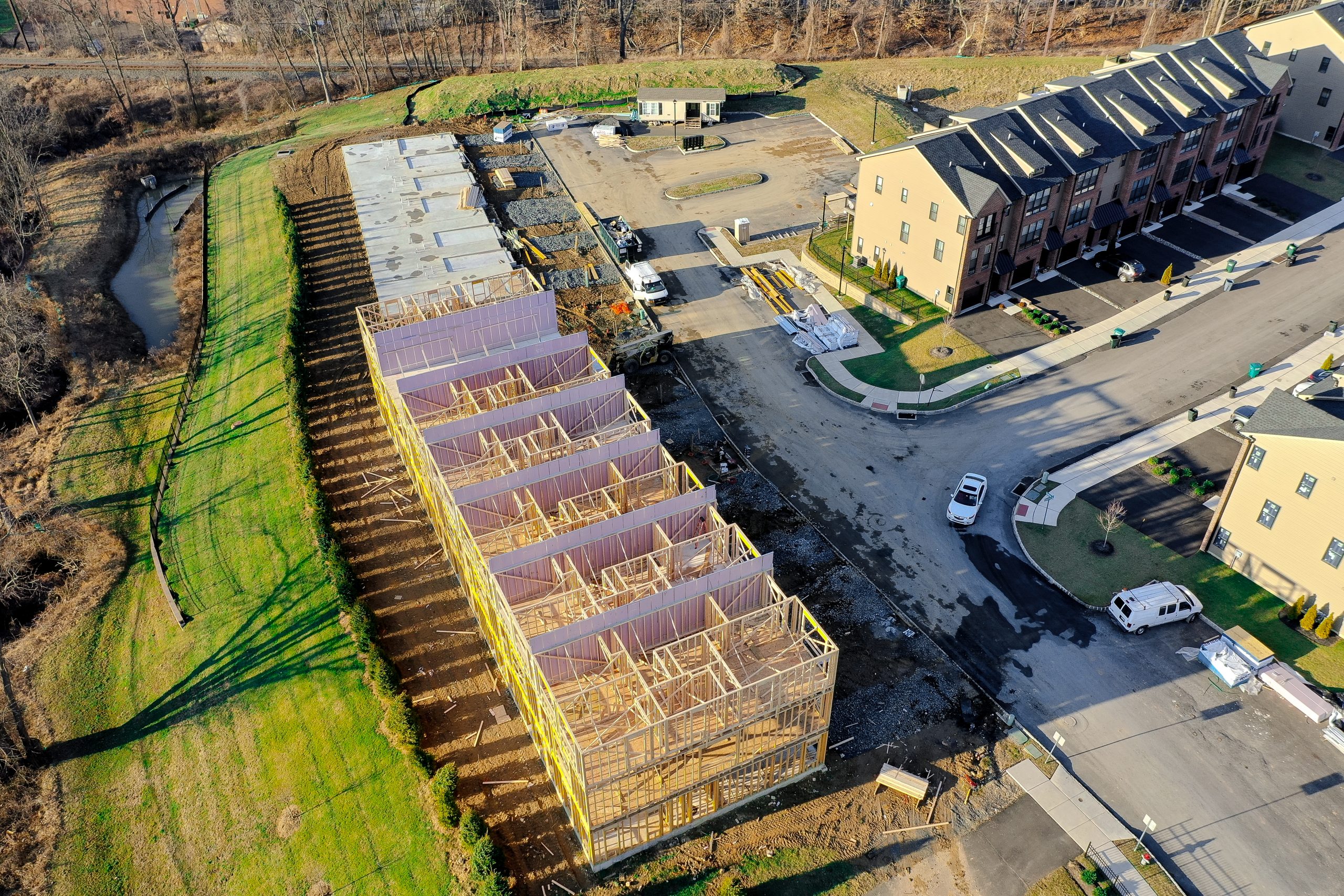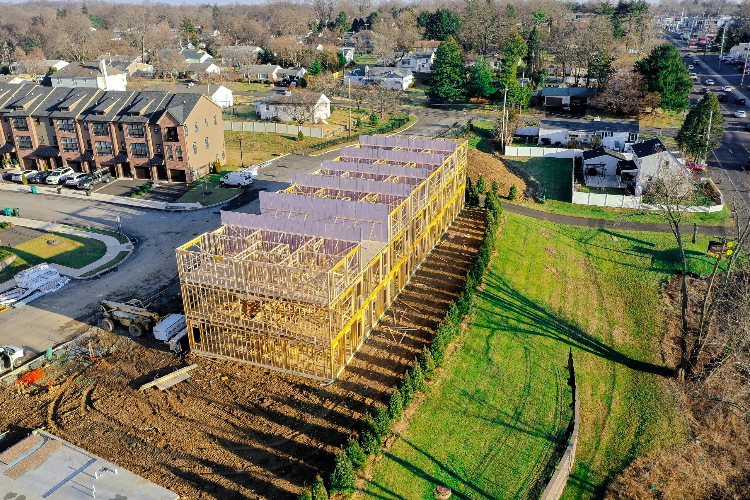
We provide high-quality aerial data collection to support construction teams in visualizing progress, monitoring sites, and enhancing project communication. Our drone services offer valuable insights that help keep your projects on track and stakeholders informed—whether you’re working on-site or managing remotely.
Construction Construction Drone Services
Common Construction Drone Services
We provide high-quality aerial imagery to support construction teams in visually documenting progress, observing site activity, and improving communication. Our drone services offer clear, up-to-date visuals that help keep your teams informed—whether you’re working on-site or managing remotely.
Common Construction Drone Services
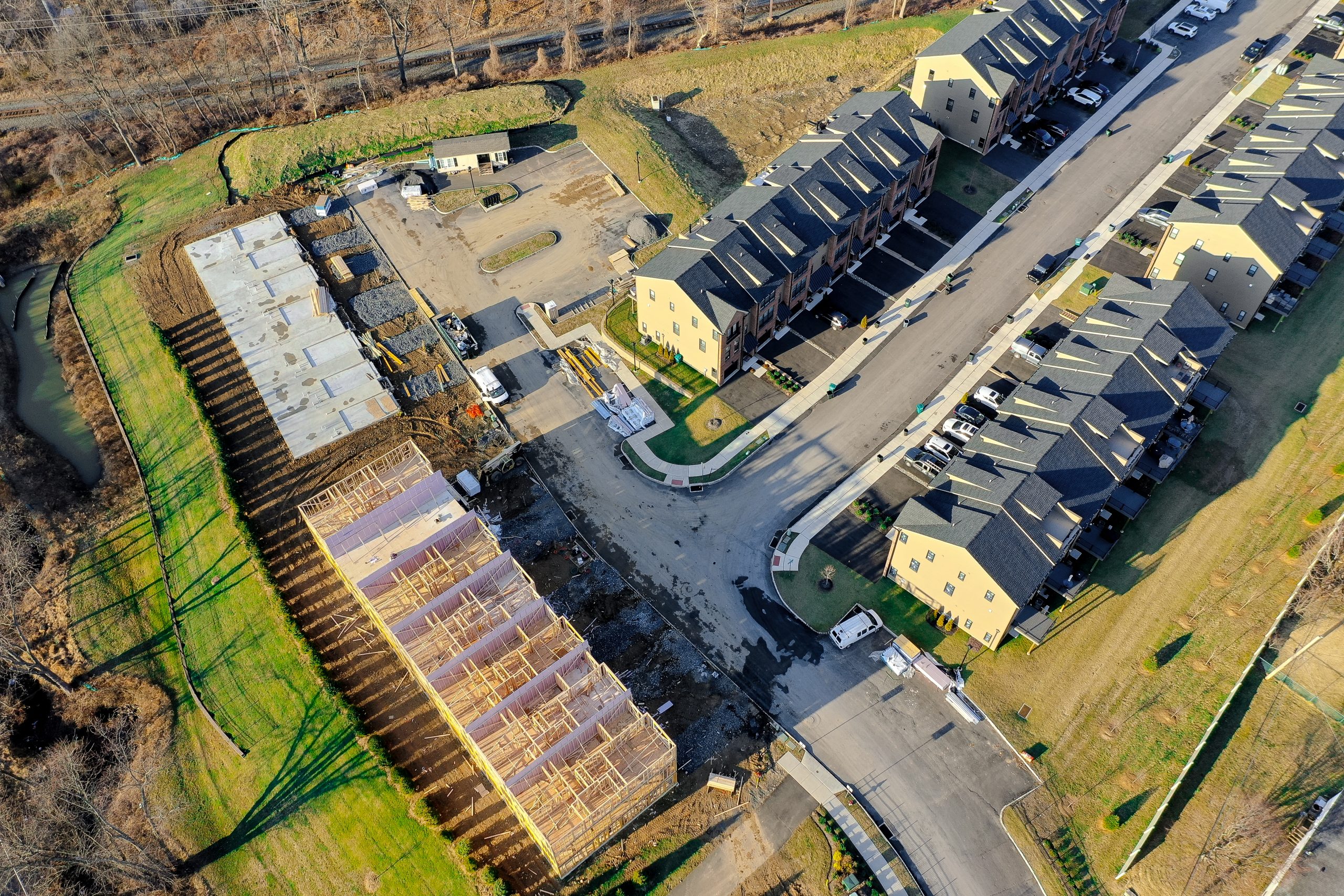
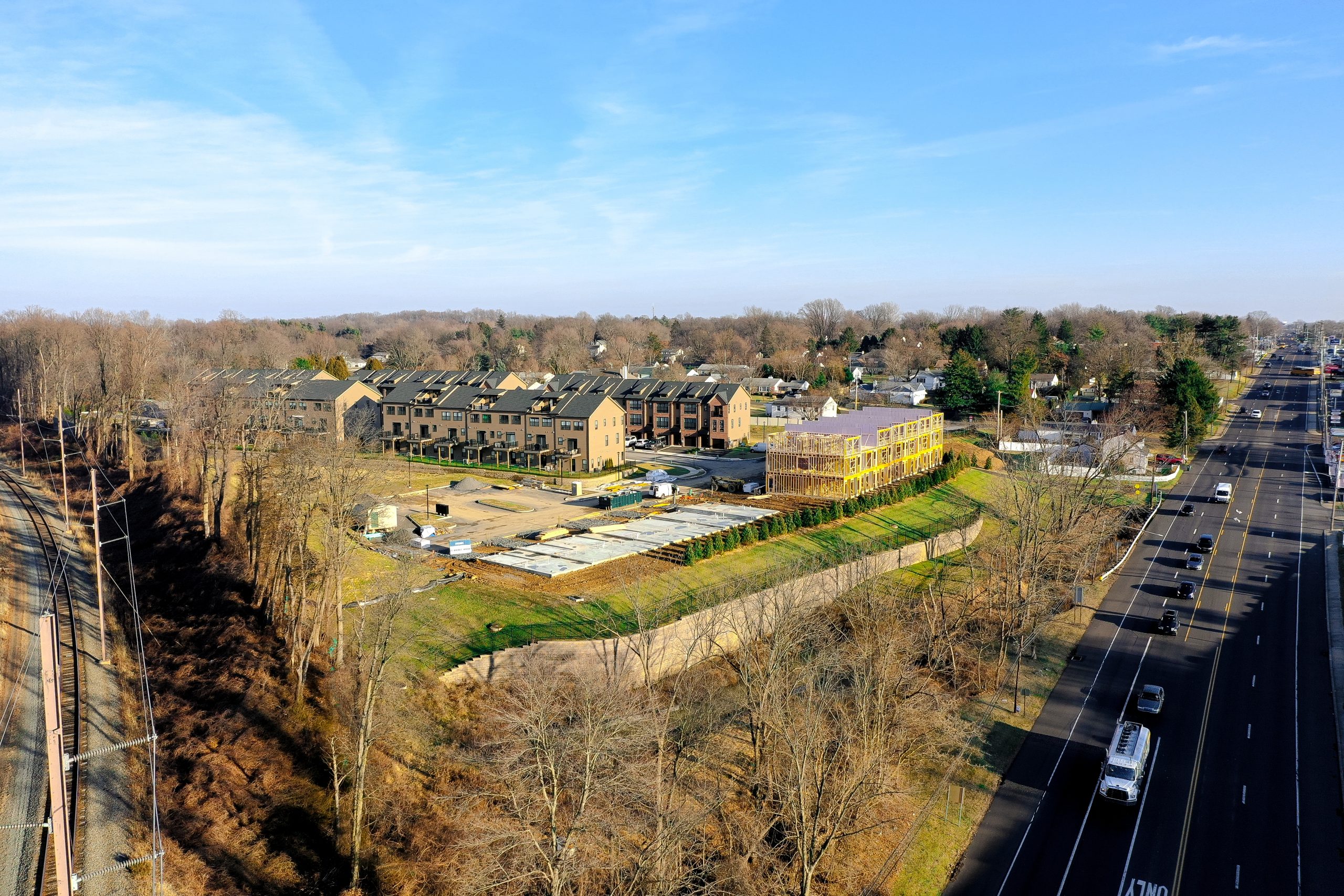
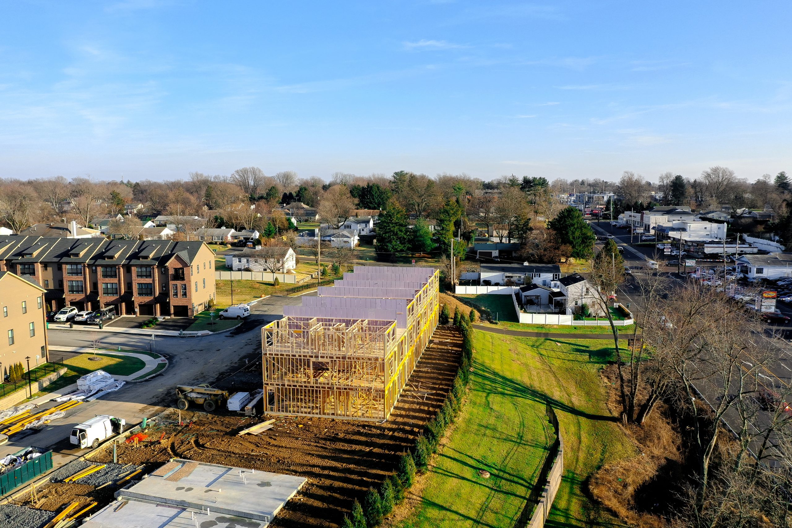
Aerial Photography & Videography
Capture high-resolution photos and videos to document site conditions and project milestones from above.
Visual Material Observations
Visually monitor stockpiles or site features to assist with operational awareness.
Remote Observation & Updates
Deliver consistent aerial visuals that help off-site stakeholders stay informed on visible progress and activity.
Site & Equipment Imagery
Visually document equipment, scaffolding, and temporary infrastructure to support internal tracking and review.
Environmental & Vegetation Imaging
Capture aerial imagery of vegetation and environmental features for internal monitoring over time.
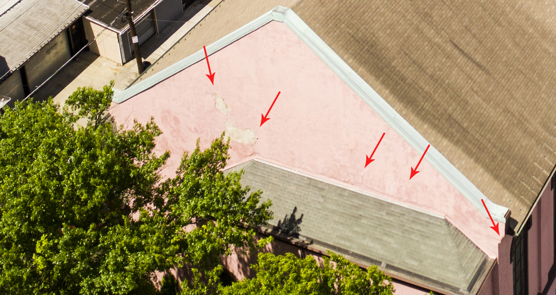
Hard-to-Reach Visual Access
Provide aerial perspectives of roofs, facades, and other difficult-to-access areas as directed by the client. Supports documentation; professional inspection to be performed separately.
Imagery Integration Support
Supply image files that can be shared across standard platforms to support team collaboration and project visibility.
FILL OUT FORM FOR A QUICK QUOTE
Important Disclaimer
Our drone services are focused on providing visual aerial documentation to assist clients in monitoring and communicating about their projects. We do not perform land surveying, mapping, certified measurements, boundary determinations, or engineering assessments.
All imagery and visuals provided are intended solely for general observation and planning support. Any interpretation or analysis of these visuals must be conducted by appropriately licensed professionals retained by the client.
We do not guarantee spatial accuracy and disclaim any responsibility for how this imagery is used in design, planning, compliance, or safety evaluations.