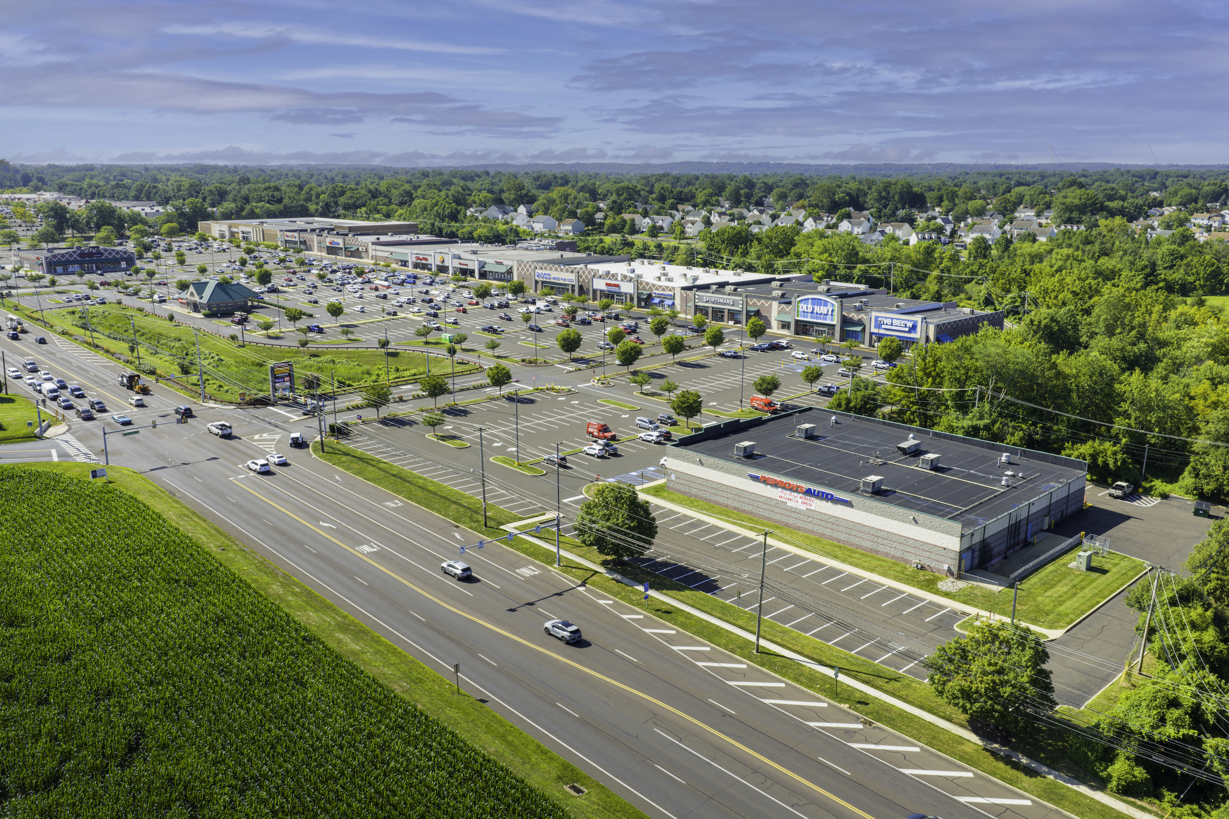
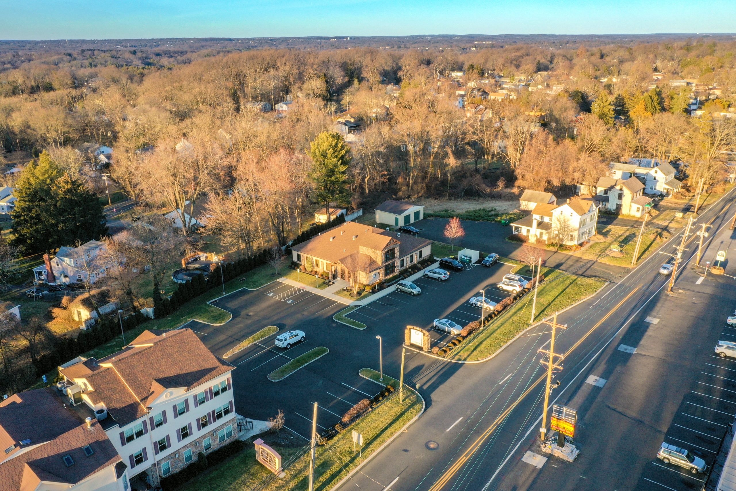
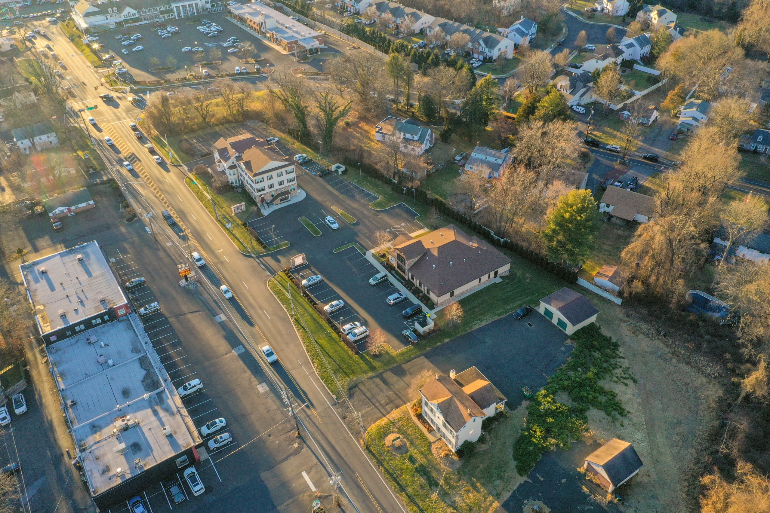
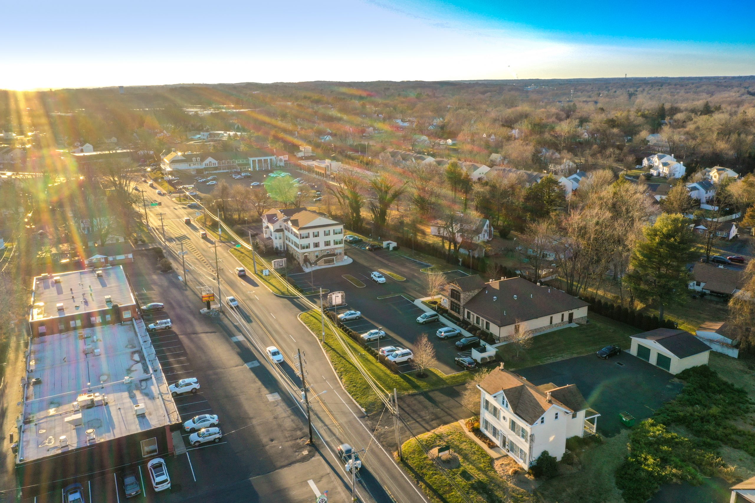
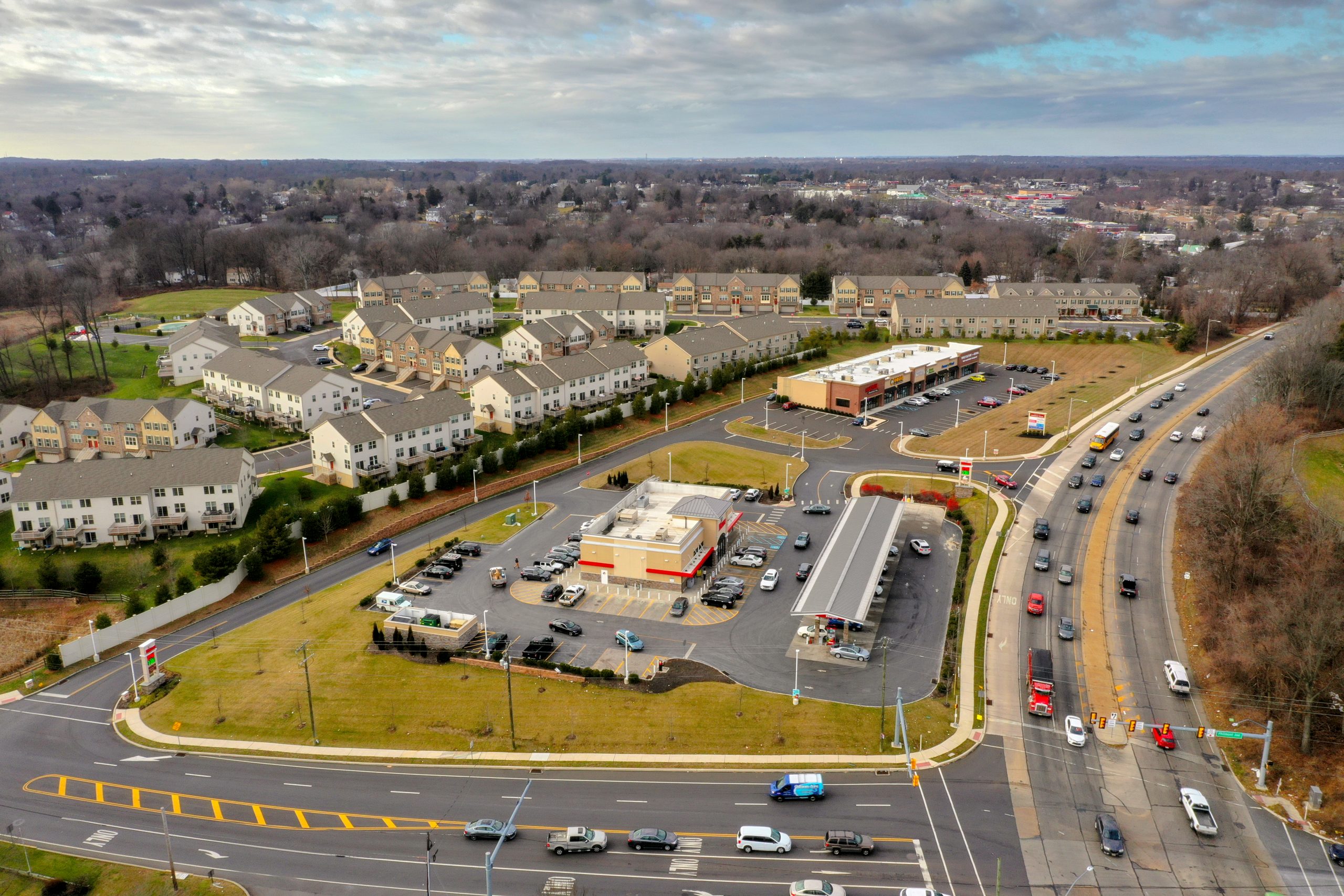
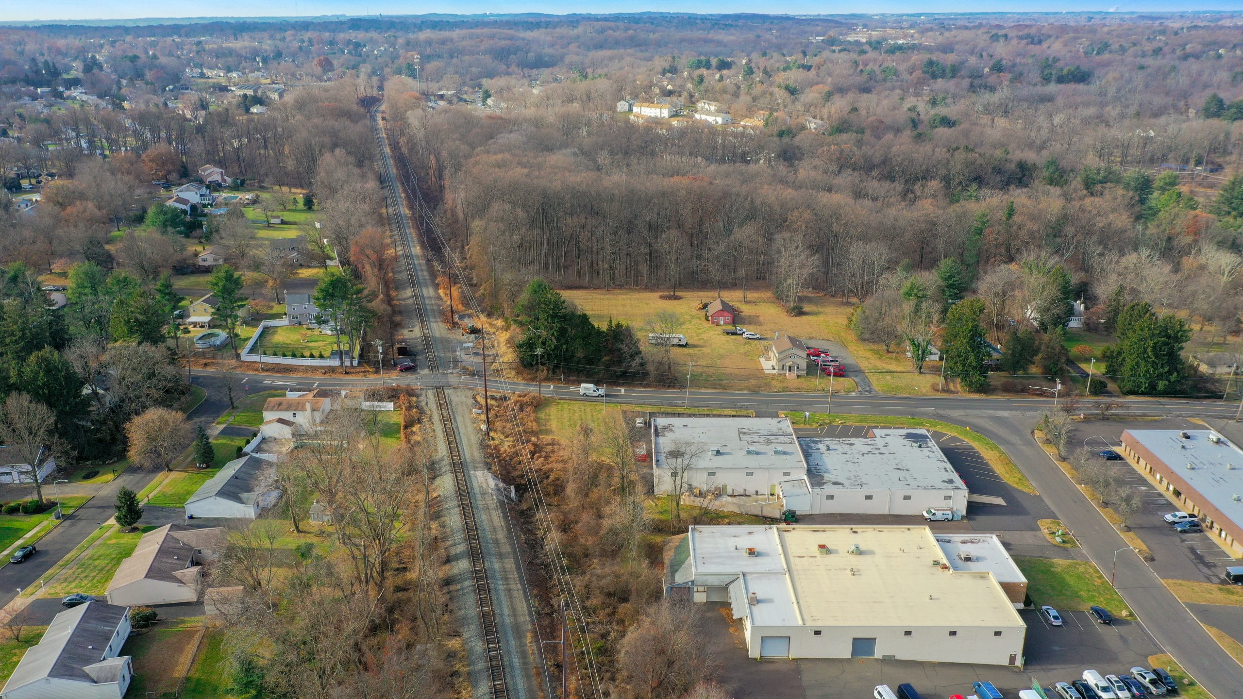
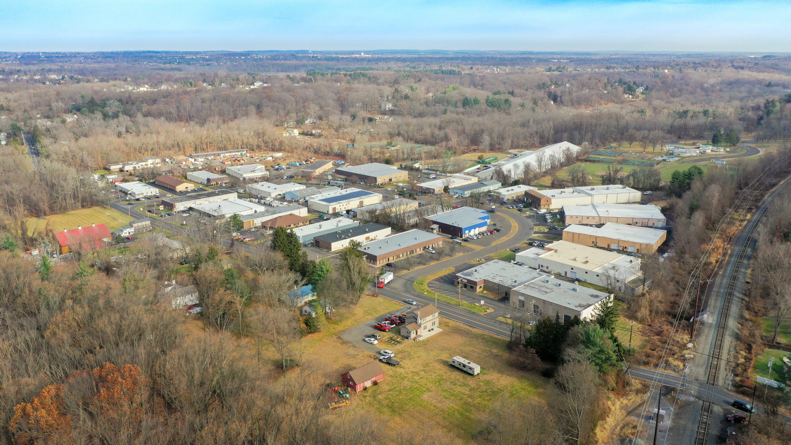
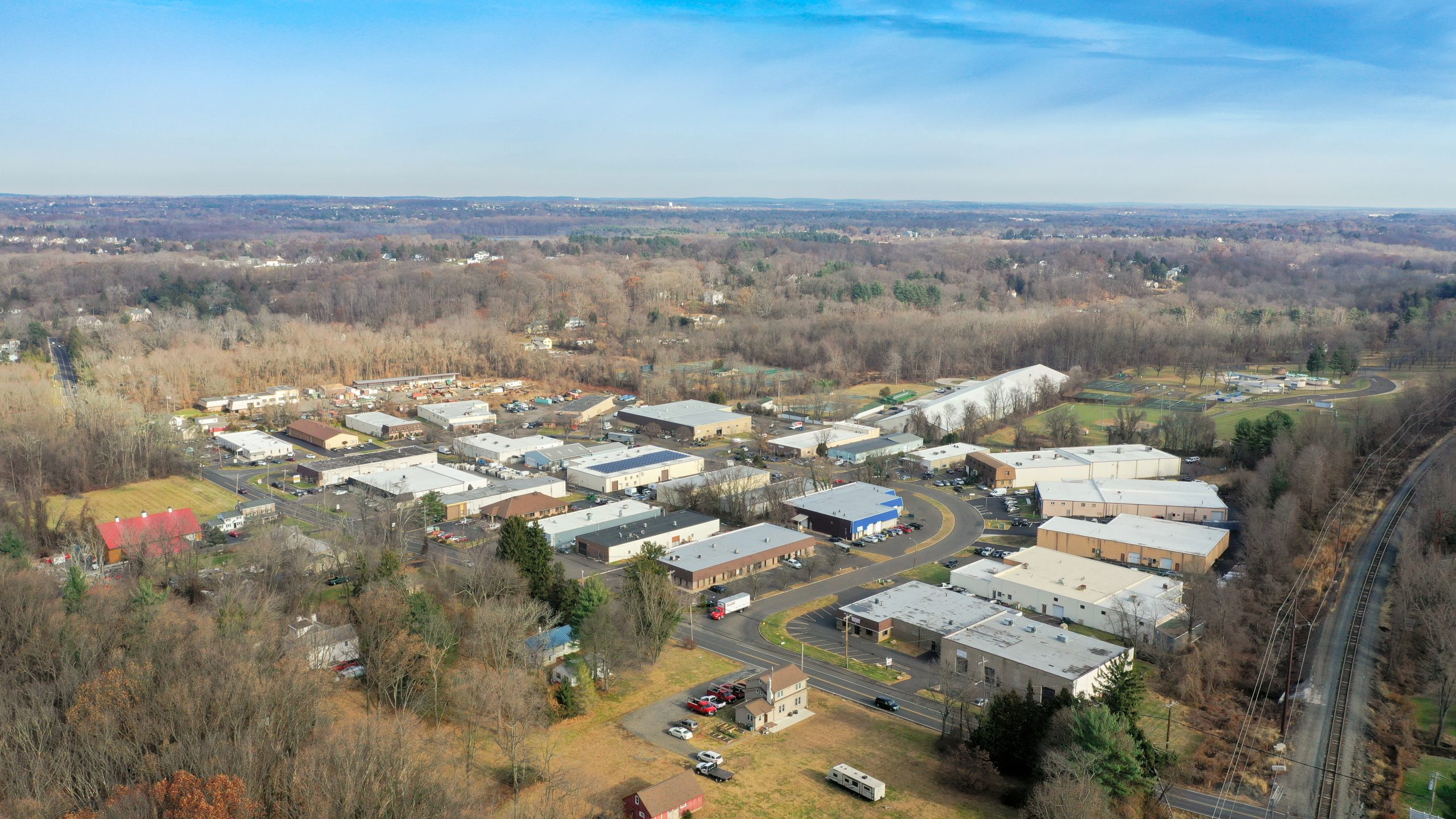
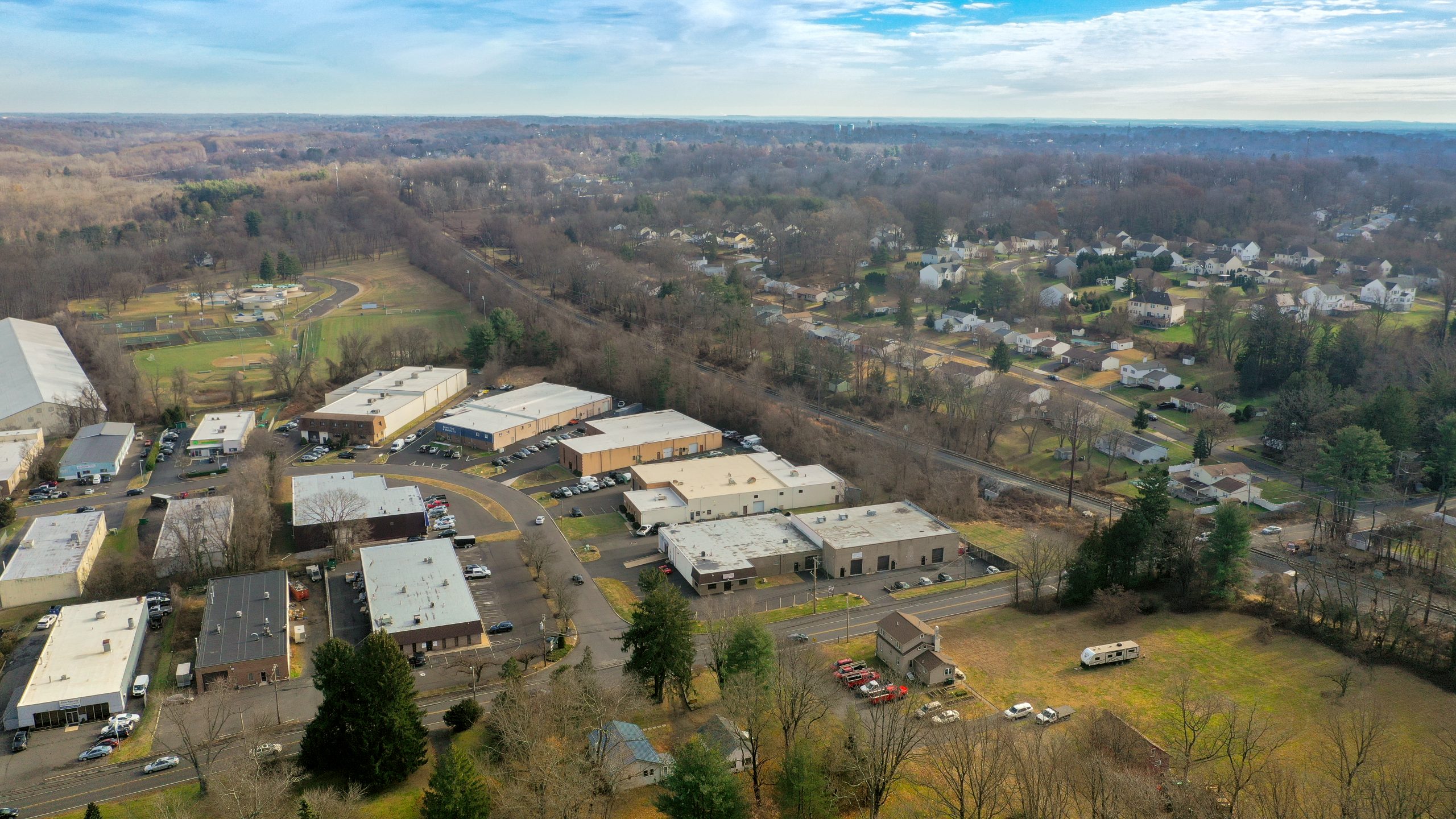
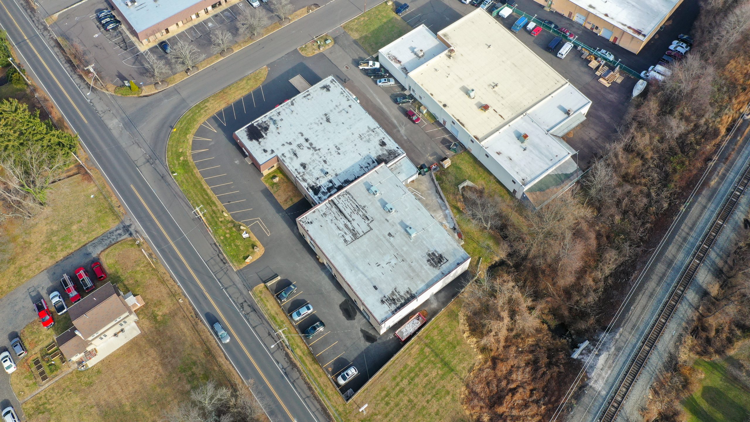
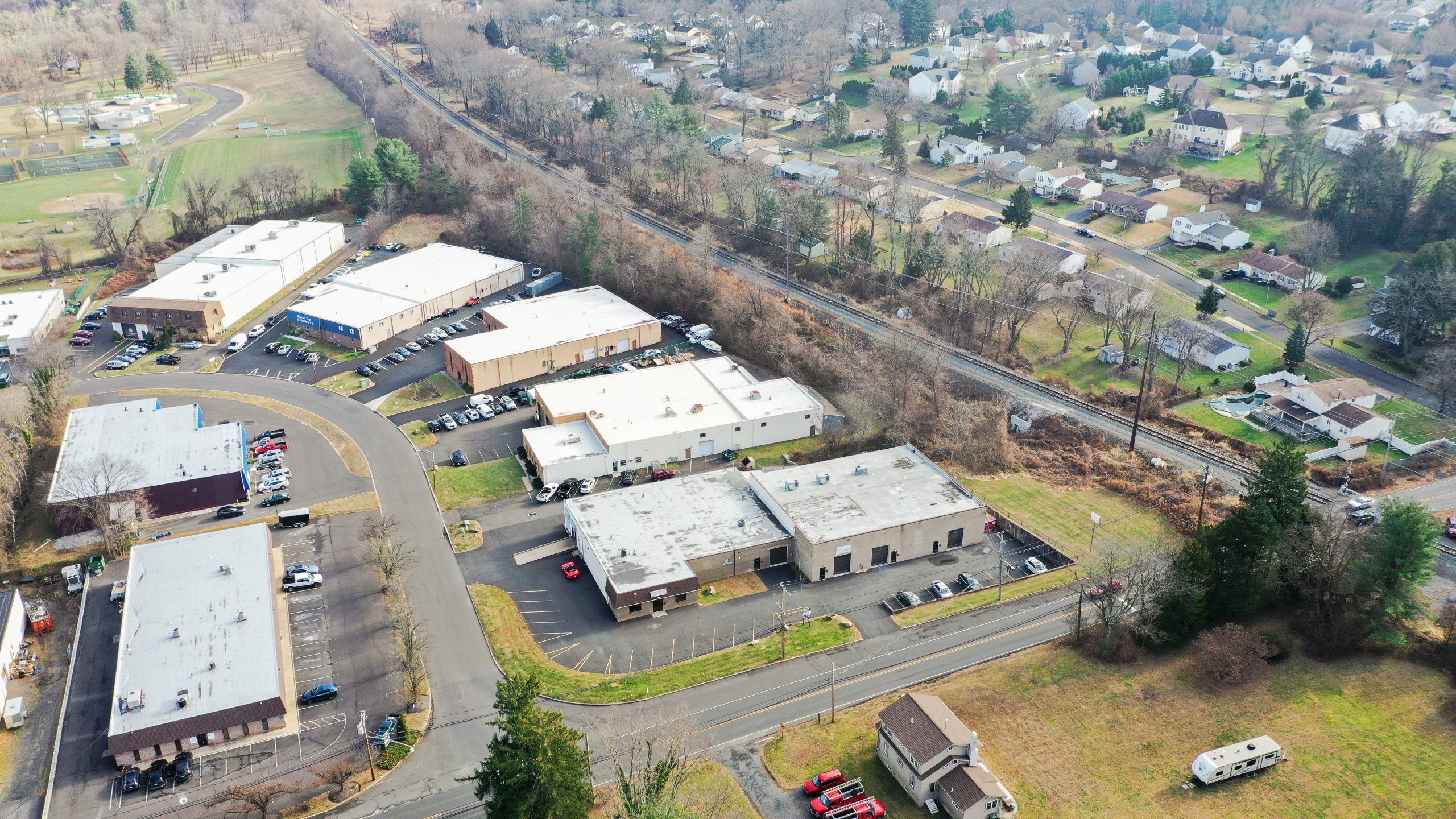
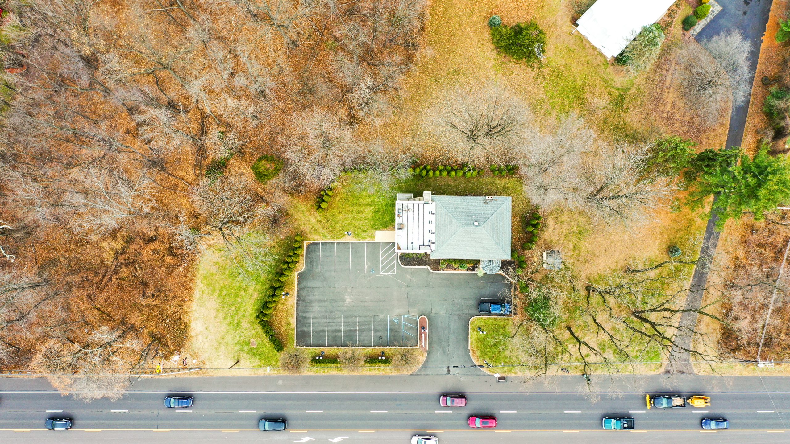
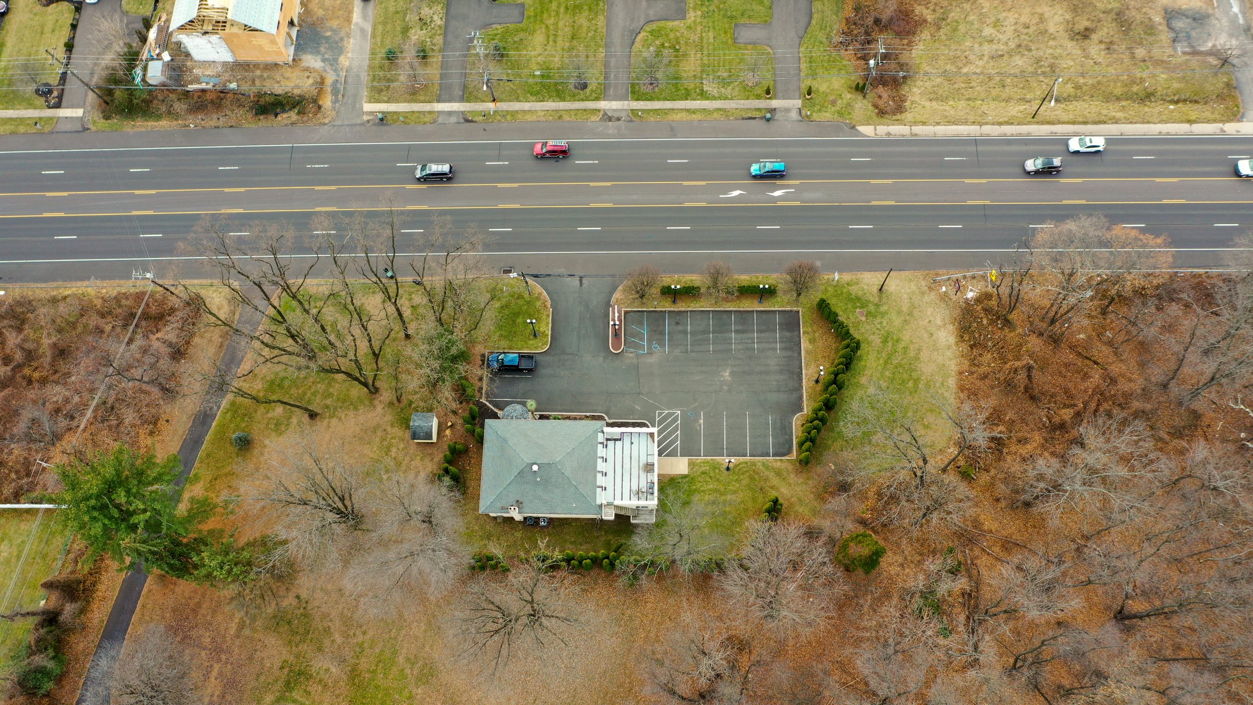
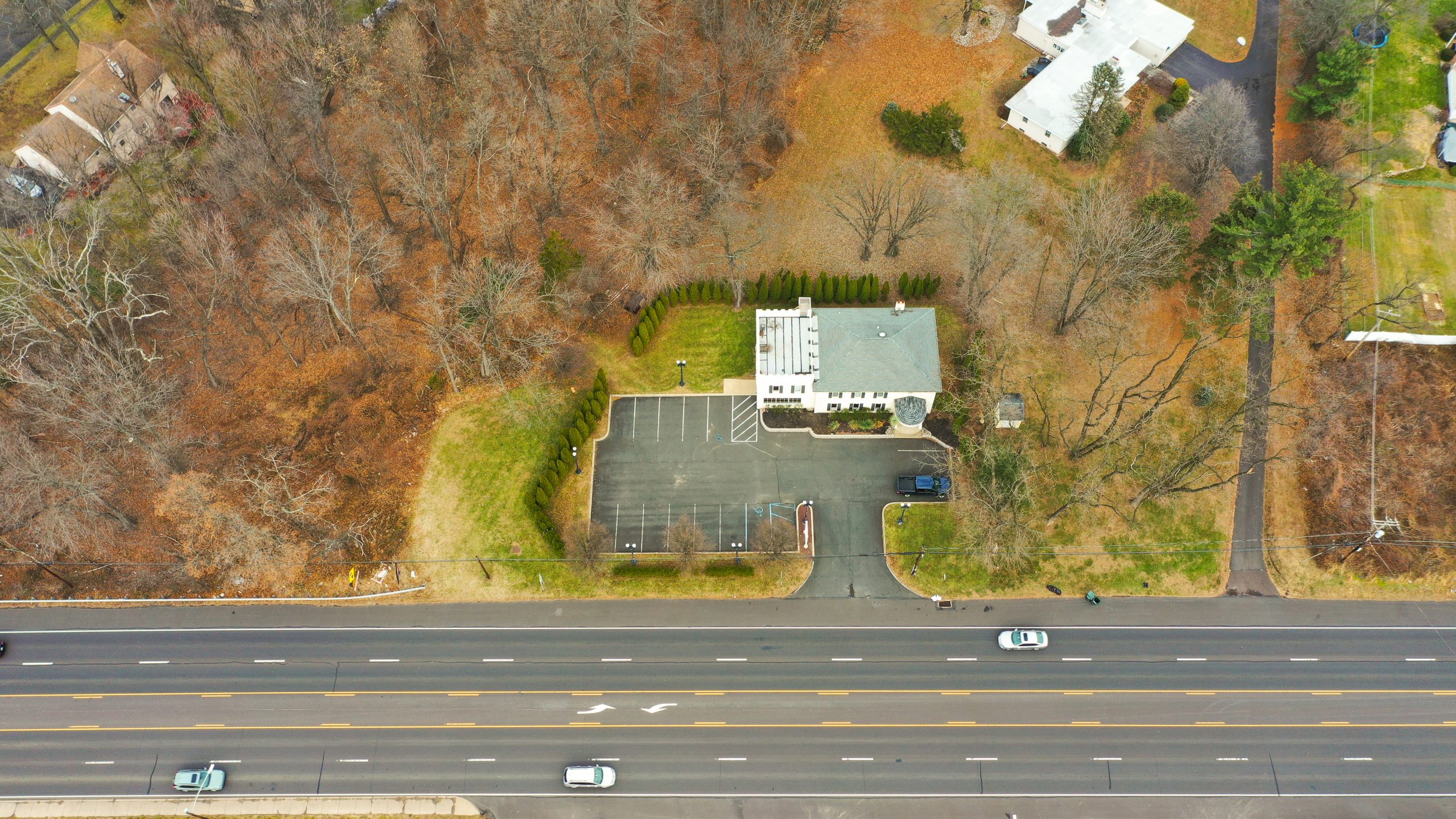
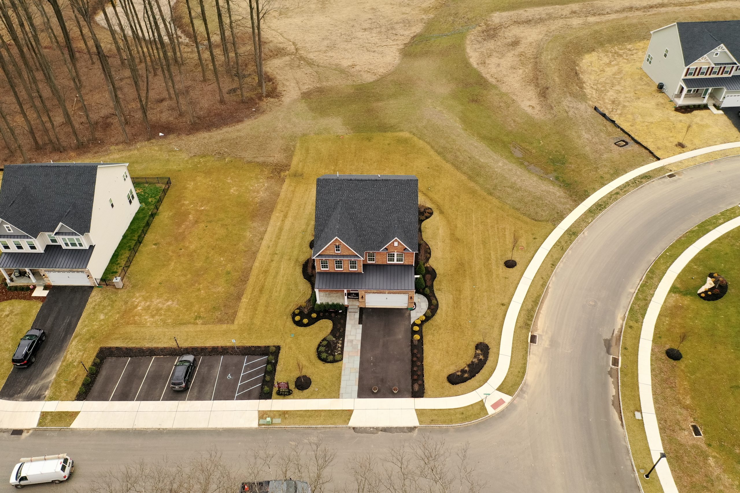
At UAV Snap, we provide professional post-storm aerial surveying and damage documentation throughout Woodbury, NJ. Our FAA-certified pilots deliver fast, safe, and accurate assessments for residential homes, commercial properties, industrial facilities, agricultural land, and community infrastructure affected by severe weather.
We capture high-resolution aerial imagery and videography that reveals the full scope of storm impact – including roof damage, siding issues, flooding, and debris fields. Our services go beyond photography: we offer real-time live streaming for adjusters and response teams, as well as collaborative mapping platforms where damage can be marked, identified, and shared instantly across teams.
With professional-grade equipment and years of industry experience, we provide claim-ready visuals and actionable data that reduce delays, prevent disputes, and help speed recovery. Whether for insurance documentation, contractor planning, or municipal assessment, UAV Snap is the trusted partner for post-storm surveying in Woodbury.